Ultimate Plan is out now!
Build Smarter Maritime Solutions from Ship to Shore
Power your maritime applications with live vessel data and worldwide port directories — all through one API.
+100K
AIS Everyday
+370K
Vessels
+75K
Voyages
What Makes Us Different
Our goal is to eliminate the complexity of maritime data integration by offering a simple and consistent way to access ships and ports — whether you're building dashboards, tracking fleets, or developing marine apps.
Simplicity
A clean and straightforward API designed to minimize complexity with clear documentation and predictable responses
Affordability
Transparent and accessible pricing built for growing projects, without excessive costs or hidden fees.
Practical Integration
Seamlessly fits into existing systems and workflows. Compatible with major programming languages for fast implementation
Maritime Data, Simplified
Provides structured and reliable maritime data through a clean API. From vessel positions to voyage and static details, everything is designed for practical integration into modern systems and workflows.
Current Location
Access the latest available vessel positions, including latitude, longitude, speed, and navigational status.
Historical Tracking
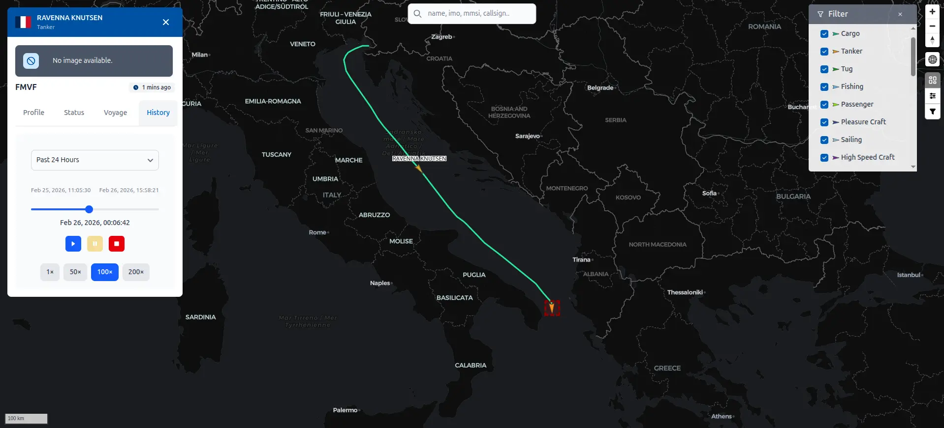
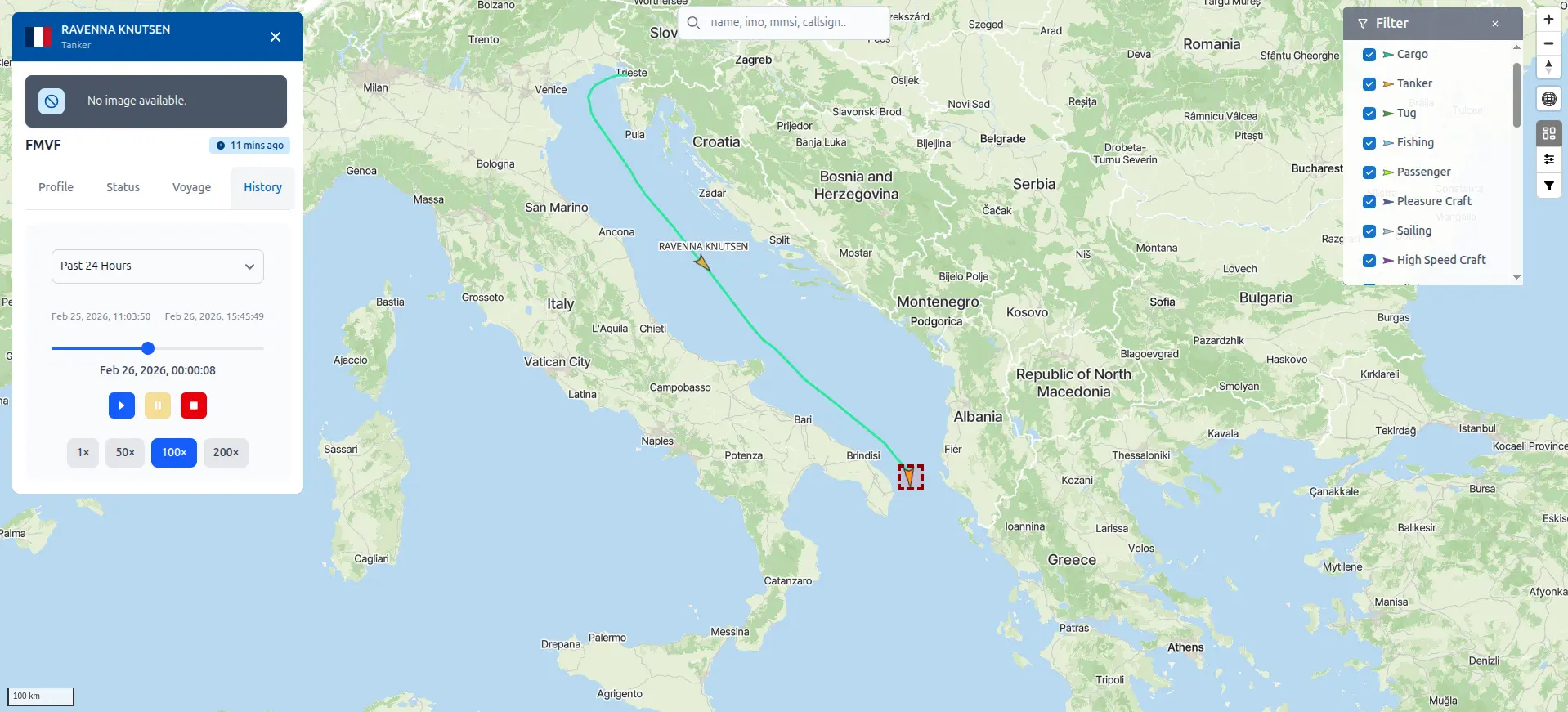
Retrieve past vessel positions to analyze routes, movement patterns, and historical activity.
Voyage Information
Get voyage-related data such as destination and ETA
Static Details
Access static vessel information including name, MMSI, IMO, dimensions, vessel type, and country.
API Documentation Preview
Example API Responses
Latest Position
Retrieve the Most Recent Vessel Coordinates
Access the latest available AIS position data including latitude, longitude, speed over ground, course, heading, and navigational status.
api/v2/vessel/location/latest
{
  "error": false,
  "message": "Successfully fetched data",
  "data": {
    "mmsi": 265510570,
    "com_state": 67761,
    "status": 4,
    "pos_acc": true,
    "raim": false,
    "lat": 59.288612,
    "lng": 18.915412,
    "cog": 167.1,
    "sog": 0,
    "rot": 0,
    "spare": 0,
    "hdt": 194,
    "eta": "",
    "dest": "",
    "draught": null,
    "repeat": 0,
    "smi": 0,
    "valid": true,
    "ts": "2025-07-20T00:00:13.731652"
  }
}
Historical Tracking
Analyze Past Vessel Movements
Query historical AIS records to review vessel routes, movement patterns, port calls, and operational history over selected time ranges.
api/v2/vessel/location
[
  {
    "mmsi": 512005706,
    "com_state": 74413,
    "status": 0,
    "pos_acc": false,
    "raim": false,
    "lat": -36.84194,
    "lng": 174.766445,
    "cog": 360,
    "sog": 0,
    "rot": -128,
    "spare": 0,
    "hdt": 360,
    "eta": "",
    "dest": "",
    "draught": null,
    "repeat": 0,
    "smi": 0,
    "valid": true,
    "ts": "2025-07-20T08:11:11.468028"
  },
  {
    "mmsi": 512005706,
    "com_state": 81976,
    "status": 0,
    "pos_acc": false,
    "raim": false,
    "lat": -36.839083,
    "lng": 174.751412,
    "cog": 360,
    "sog": 0,
    "rot": -128,
    "spare": 0,
    "hdt": 360,
    "eta": "",
    "dest": "",
    "draught": null,
    "repeat": 0,
    "smi": 0,
    "valid": true,
    "ts": "2025-07-20T07:17:39.591141"
  }
]
Vessel Nearby
Discover Nearby Vessels by Coordinates
Retrieve vessels located within a specified geographic bounding box. Ideal for area monitoring, maritime traffic analysis, and situational awareness.
api/v2/vessel/area
[
  {
    "name": "CMA CGM FORT DIAMANT",
    "imo": 9966776,
    "type": "Cargo",
    "flag": "FRA",
    "a": 111,
    "b": 157,
    "c": 22,
    "d": 22,
    "mmsi": 228469700,
    "lat": -6.097307,
    "lng": 106.896658,
    "cog": 220.6,
    "sog": 0,
    "rot": 0,
    "hdt": 272,
    "dest": "",
    "eta": "00-00 00:00",
    "draught": 0,
    "ts": "2025-08-09T04:59:13.195165"
  },
  {
    "name": "SITC HOCHIMINH",
    "imo": 9639608,
    "type": "Cargo",
    "flag": "HKG",
    "a": 130,
    "b": 13,
    "c": 17,
    "d": 6,
    "mmsi": 477203300,
    "lat": -6.09554,
    "lng": 106.919535,
    "cog": 348.4,
    "sog": 0,
    "rot": 0,
    "hdt": 180,
    "dest": "",
    "eta": "00-00 00:00",
    "draught": 0,
    "ts": "2025-08-09T02:09:03.391145"
  },
  {
    "name": "KT BIMA 035",
    "imo": 9302384,
    "type": "Other Type",
    "flag": "IDN",
    "a": 10,
    "b": 17,
    "c": 5,
    "d": 5,
    "mmsi": 525023080,
    "lat": -6.093723,
    "lng": 106.919458,
    "cog": 106,
    "sog": 0,
    "rot": 127,
    "hdt": 136,
    "dest": "",
    "eta": "00-00 00:00",
    "draught": 0,
    "ts": "2025-08-09T05:09:17.83828"
  }
]
Vessel Profile Information
Access Comprehensive Static Vessel Data
Static vessel information including MMSI, IMO number, vessel type, dimensions, country, and identification details.
api/v2/vessel/profile
{
  "imo": 9389112,
  "mmsi": 352002084,
  "callsign": "3E3768",
  "name": "GINGKO",
  "ship_type": "Cargo Ship",
  "country": "PAN",
  "dimension_a": 163,
  "dimension_b": 27,
  "dimension_c": 10,
  "dimension_d": 22,
  "length": 190,
  "width": 32
}
Premium access made simple
Perfect for getting started with lightweight API usage.
- Access to premium endpoints
- No credits
- Basic support
- Designed for up to 5 requests per minute
Ideal for lightweight integrations and early-stage usage.